Explore plant biodiversity at large scale and high resolution
GeoPl@nNet aims to make plant biodiversity easily accessible and understandable for everyone through high-resolution interactive maps and reports
GeoPl@nNet aims to make plant biodiversity easily accessible and understandable for everyone through high-resolution interactive maps and reports
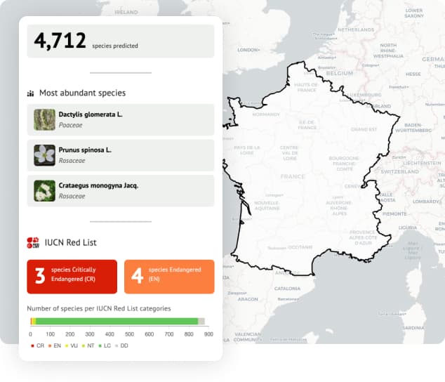
GeoPl@ntNet is able to generate biodiversity report at a global “country” scale or at a “local” scale.
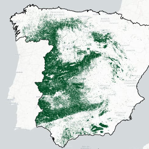
Get immediate biodiversity report on a whole country.
Draw shapes on the map to get report tailored to your areas of interest.
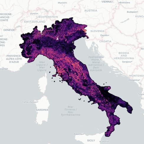
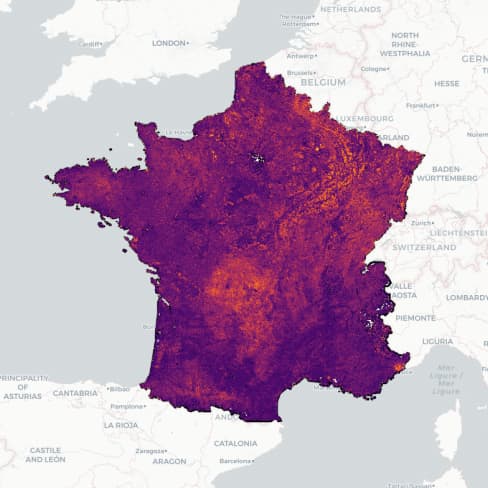
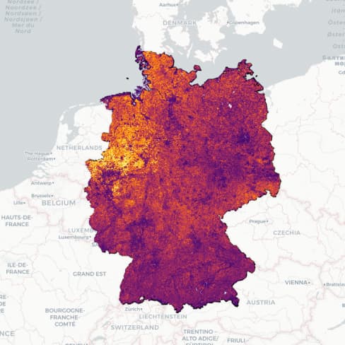
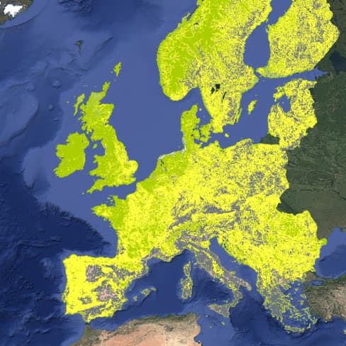
Explore the predictions maps of species at a 50m resolution across Europe and compare them with maps of real occurences.
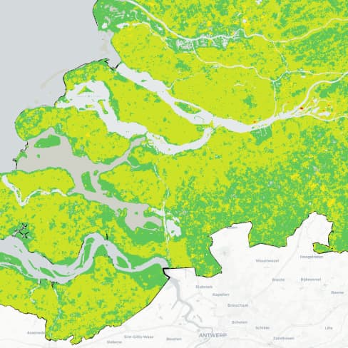
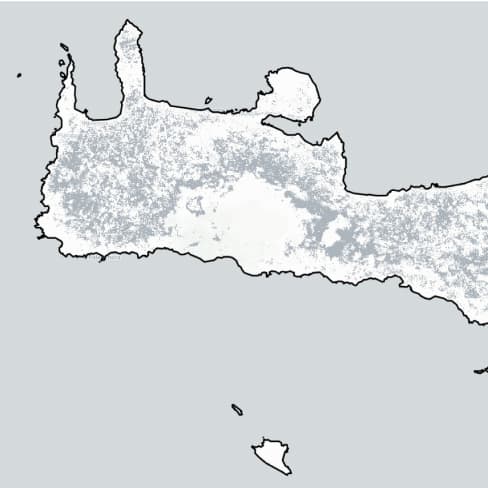
GeoPl@ntNet lets you explore maps of EUNIS habitats predicted across Europe. The predictions are made at EUNIS level 3 habitats and can also be explored aggregated at both level 1 & 2.
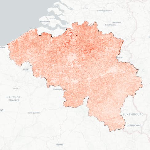
GeoPl@ntNet lets you explore maps of biodiversity indicators across Europe.